Coverage area maps created by TRAX application
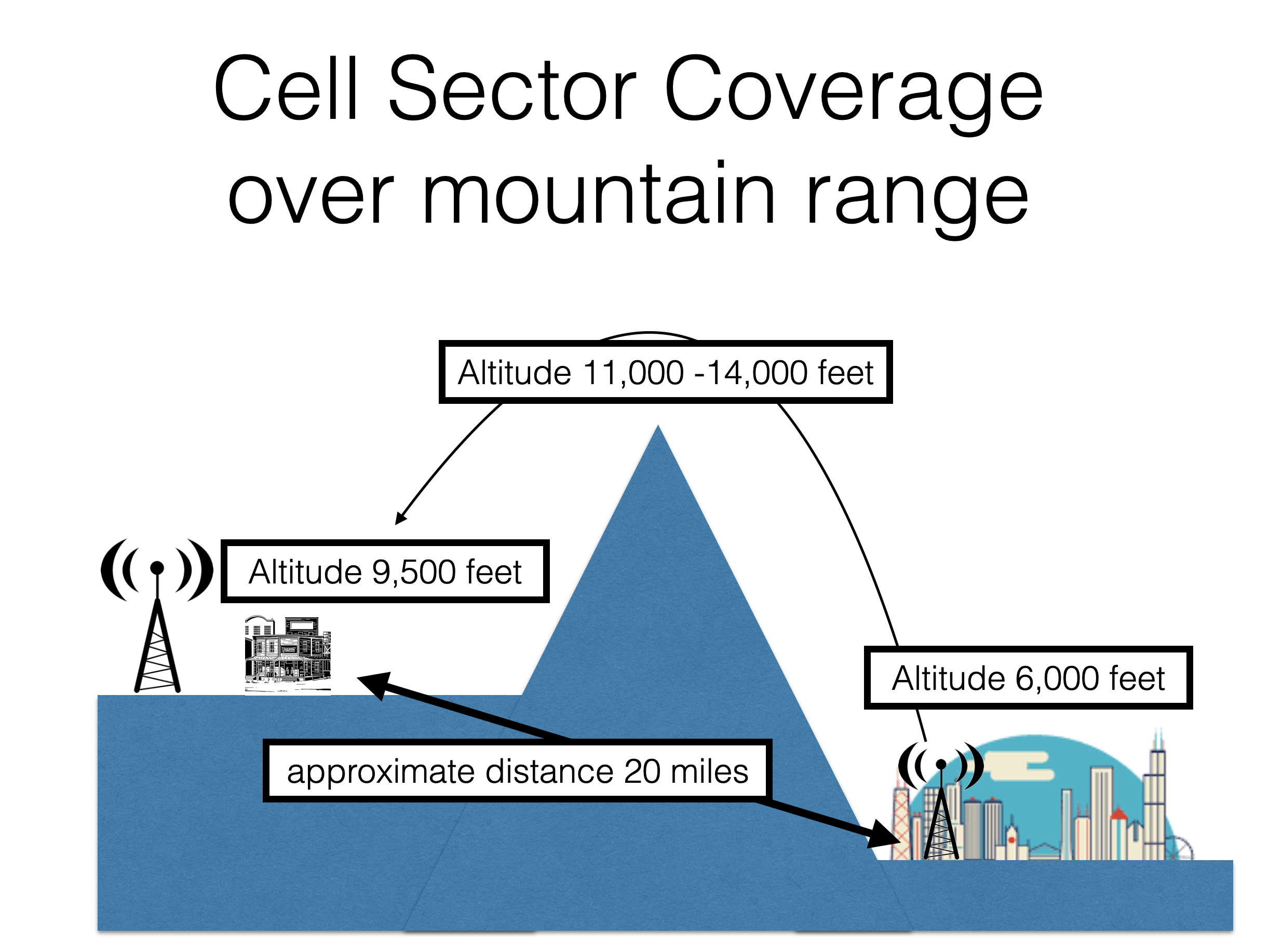
Side view of TRAX example
In this side view you can see how the coverage area map generated by TRAX is impossible. Cell tower antennas are line of sight. A cell antenna at 6,000 feet cannot project a signal over a 14,000 foot mountain and bend back down to 9,500 feet 20 miles away. Yet according to the TRAX formula this is possible. The TRAX formula estimating coverage area does not take terrain, antenna power, tower height, and down tilt into account. It averages the closest 3 towers in a 60 degree cone from the azimuth and multiples the results by .97 to determine the coverage area.
